
Fort Worth · 76133
Living in Wedgwood, Fort Worth
About 5,100 houses in southwest Fort Worth, nearly all built from 1950 to 1979, on lots about 87 feet wide.
Rather talk it through? Call or text (817) 631-9803
Where it is
Wedgwood covers about 2,300 acres of southwest Fort Worth, just south of Interstate 20.
- 1Wedgwood Park
- 2Wedgwood Library
- 3Krauss Baker Park
- Dashed: Wedgwood West and Wedgwood Central
The City of Fort Worth maps Wedgwood as six neighborhood lines south of Interstate 20, between Granbury Road on the west and McCart Avenue on the east, all in ZIP code 76133. Together they hold 5,109 houses. Wedgwood Square, the oldest part, runs from Interstate 20 to Altamesa Boulevard, west of Woodway Drive. Wedgwood East lies across Woodway Drive. The line the city calls simply Wedgwood sits west of Hulen Street, and Wedgwood South is below Altamesa Boulevard. Two smaller lines, Wedgwood West and Wedgwood Central, sit inside Wedgwood Square.
| Association | North | South | East | West |
|---|---|---|---|---|
| North“SW Loop 820” | South“Altamesa & South Hulen” | East“Woodway-Trail Lake” | West“Granbury Road” | |
| North“SW Loop 820” | South“Alta Mesa” | East“West Creek/ McCart” | West“Woodway” | |
| North“Hulen/Granbury Road” | South“Alta Mesa” | East“Hulen” | West“Granbury Road” | |
| North“Altamesa” | South“Willow Way” | East“Woodway” | West“Kingswood” |
As the city’s registrations for each neighborhood association list them. SW Loop 820 is Interstate 20 along here. Wedgwood West and Wedgwood Central lie inside Wedgwood Square.
Inside the lines
Just outside
Inside the lines
Just outside
Hulen Mall. About half a mile outside Wedgwood Square’s line, and 1.5 road miles from Wedgwood Park.
Road miles, measured from Wedgwood Park
- Hulen Mall 1.5 mi
- TCU 4.0 mi
- The Shops at Clearfork 4.5 mi
- Fort Worth Zoo 5.0 mi
- Downtown Fort Worth 8.5 mi
Which Wedgwood
The city’s map shows six Wedgwood lines, and their typical houses were built up to fourteen years apart.
Listing sites treat Wedgwood as one place. The city’s map has six, and seven neighborhood associations are registered under the name. The difference matters because the parts were built at different times: the median house in Wedgwood Square dates from 1960, and the median house in Wedgwood South from 1974. So two listings that both say Wedgwood can mean houses from different decades, on different streets, under different zoning.
-
Wedgwood Square
2,072 houses
Median build year 1960
West of Woodway Drive, from Interstate 20 down to Altamesa Boulevard
-
Wedgwood East
1,738 houses
Median build year 1967
East of Woodway Drive, with the Wedgwood Library
-
Wedgwood
786 houses
Median build year 1969
The line the city names simply Wedgwood, west of Hulen Street
-
Wedgwood South
515 houses
Median build year 1974
South of Altamesa Boulevard, and mostly zoned A-10
-
Wedgwood West
374 houses
Median build year 1964
Inside Wedgwood Square
-
Wedgwood Central
193 houses
Median build year 1968
Inside Wedgwood Square
A listing can also carry a plat name, which is different again. A plat is the survey recorded when the lots were first divided. Most Wedgwood houses, 3,856 of the 5,109, are on the Wedgwood Addition plat. In Wedgwood East, though, seven in ten are recorded on the South Hills Addition. The city’s map, not the listing, tells you which line a house is in. The plat matters for the historic district plan too: the Wedgwood Historical Association’s proposed district follows the developers’ earliest maps, not these lines, and the association names houses recorded on the South Hills Addition as a question for the Texas Historical Commission if the district expands.
Own a house here? Get a free home value
When it was built
Wedgwood’s oldest houses are in Wedgwood Square, and the typical house south of Altamesa Boulevard is the newest.
The Fort Worth Report describes Wedgwood as known for its midcentury modern and ranch-style homes, large mature trees and W-named streets, and the Wedgwood Historical Association’s president told the paper that almost every house is a ranch, each customized in some way. The appraisal district’s build years put the era at 1950 through 1979: 4,954 of the 5,109 houses, and only 19 from 2000 on. Inside each line the spread differs. Wedgwood East runs widest: the middle 80 percent of its houses were built from 1959 to 1977, so two East listings can be eighteen years apart. Wedgwood Central runs tightest, from 1967 to 1973.
So nearly every house here is between about 45 and 75 years old. Before you buy one, find out what has already been redone: the roof, the windows, the wiring, the plumbing. Our design and construction teams can price what a house needs, and our real estate agents can tell you what it is worth as it stands.
The six Wedgwood lines by recorded build year
-
Wedgwood Square
2,072 houses
1960 -
Wedgwood West
374 houses
1964 -
Wedgwood East
1,738 houses
1967 -
Wedgwood Central
193 houses
1968 -
Wedgwood
786 houses
1969 -
Wedgwood South
515 houses
1974
The lots
Lots are wide across Wedgwood, but most of Wedgwood South is zoned A-10, which allows less coverage.
Measured from the city’s parcel map, the median Wedgwood lot is about 87 feet wide and 133 feet deep, about 10,800 square feet. None of the 5,109 is narrower than 50 feet, the narrowest lot A-5 zoning allows. The widest are in Wedgwood South and Wedgwood Central, at a median of about 100 feet.
The zoning is where the parts differ. Almost every house in Wedgwood Square, Wedgwood East and the line called Wedgwood sits on A-5 land, where a house may cover half its lot and the front yard is 20 feet on a local street. In Wedgwood South, 434 of the 515 houses sit on A-10 land, which caps coverage at 40 percent and sets a 25-foot front yard. If you plan to add on, find out which district your lot is in first.
| Standard | A-5 | A-10 |
|---|---|---|
| Where in Wedgwood | Almost every house in Wedgwood Square, Wedgwood East and the line called Wedgwood | 434 of the 515 houses in Wedgwood South |
| Minimum lot | 5,000 sq ft | 10,000 sq ft |
| Minimum width | 50 ft | 60 ft |
| Maximum coverage | 50% | 40% |
| Front yard | 20 ft (15 ft on a limited local street) | 25 ft |
From the Fort Worth Zoning Ordinance. Zoning is read at the center of each house’s lot on the city’s map; check your own parcel before anyone draws.
The historic district plan
If the oldest part of Wedgwood is listed on the National Register, exterior work still needs only the usual permits.
The Wedgwood Historical Association has a Texas Historical Commission grant toward nominating the oldest part of Wedgwood, about 2,200 lots, to the National Register of Historic Places. The association drew the proposed district from the developers’ earliest maps, from about 1954 and 1955, not from the neighborhood-association lines on the city’s map. The nomination is still being prepared: the association is surveying the houses, and the Texas Historical Commission must approve the nomination before it goes to the National Park Service. The Texas Historical Commission says National Register designation “imposes no restrictions on property owners.” Only owners who take grant money or a federal tax credit for a rehabilitation have standards to meet.
A city historic district is a different thing. Inside one, any change to the outside of a house needs the city’s approval before a permit. The city’s map shows none of Wedgwood’s 5,109 houses in a city historic district, and none with its own landmark designation. Today, under the city’s historic rules, new windows, new siding or an addition on a Wedgwood house need only the usual permits.
| National Register listing | City historic district | |
|---|---|---|
| Who decides | The National Park Service, after the Texas Historical Commission | The City of Fort Worth |
| Does it review your exterior work? | No, unless you take a grant or a federal rehabilitation tax credit | Yes, before the permit |
| In Wedgwood today | Proposed for about 2,200 lots, drawn from the developers’ earliest maps | None of the 5,109 houses |
The schools
Every Wedgwood house we checked is zoned to the same middle and high school.
Schools here are assigned by address, not by neighborhood. Using Fort Worth ISD’s School Finder and its 2026–27 boundaries, we looked up 927 houses across the six lines. All 927 were zoned to Wedgwood Middle School and Southwest High School. The elementary school varied with the address: Bruce Shulkey, Hazel Harvey Peace, J. T. Stevens, Westcreek or Woodway.
The elementary zones do not follow the Wedgwood lines, so check the one house you are buying in the district’s School Finder.
Texas Education Agency ratings, 2026
Every house we checked
Wedgwood Middle School
D69/100
Southwest High School
9–12
B88/100
Elementary, by address
- Bruce Shulkey Elementary PreK–5 B80/100
- Hazel Harvey Peace Elementary PreK–5 C76/100
- J. T. Stevens Elementary PreK–5 C74/100
- Westcreek Elementary PreK–5 C71/100
- Woodway Elementary PreK–5 F52/100
Our work in Wedgwood East
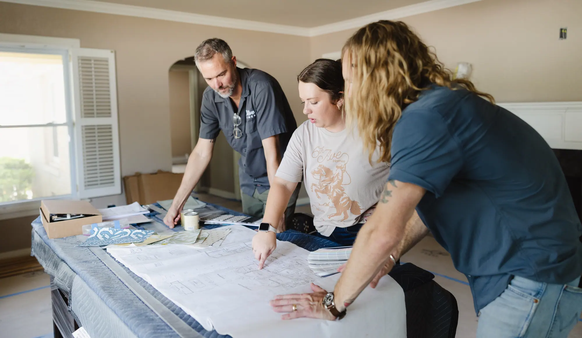
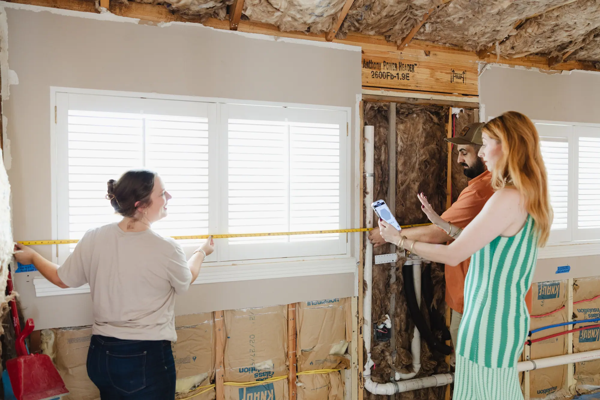
Our design and construction teams rebuilt a primary suite and a kitchen inside Wedgwood East.
Both houses sit inside the Wedgwood East line on the city’s map. Our real estate agents work under the same roof, if you also need help buying or selling.
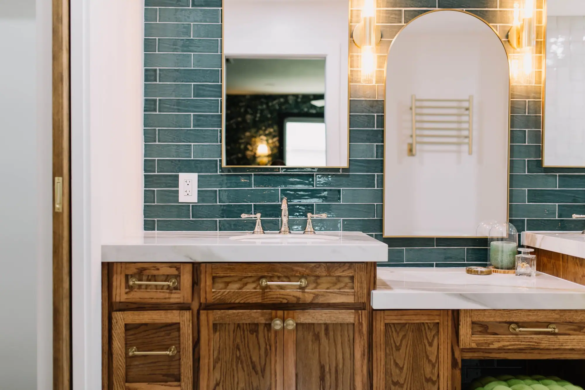
Wedgwood East · Primary suite
A bedroom and bath gutted and rebuilt together
New tile from the floor to the vanity wall and the shower, with millwork and wallpaper in the bedroom.
Design and construction
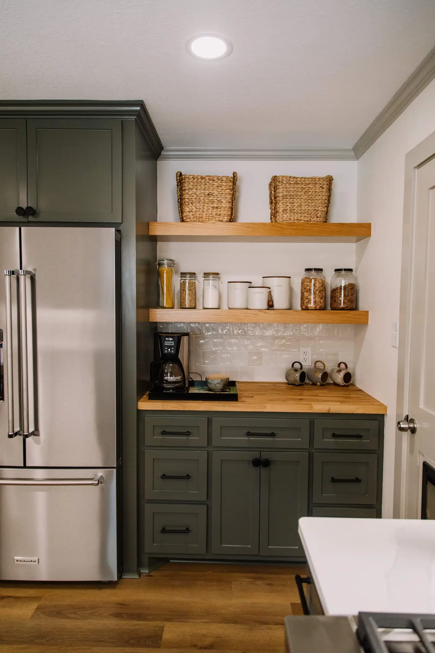
Wedgwood East · Kitchen
A gutted kitchen with a coffee bar and a bookcase at the peninsula
New flooring, paint and lighting carried through the dining and living areas.
Design and construction
Best Home Builder & Remodeler
Fort Worth MagazineFort Worth Chamber Small Business of the Year4.7 stars from 91 Google reviews as of September 2026
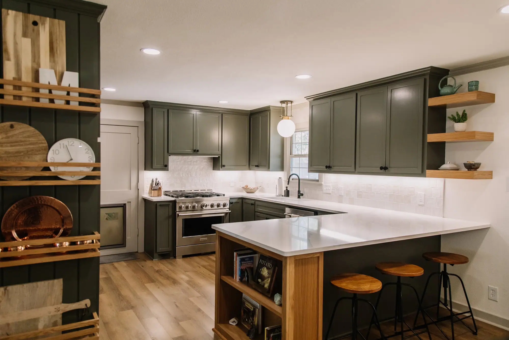
Kitchen remodels in Fort Worth
$55,000–$175,000
the same footprint with everything new at the low end, walls out and the plan redrawn at the top.
Ranges for a kitchen remodel in Fort Worth, not a quote. Before there are drawings, a range is the only honest number anyone can give you — the spread between a high and a low bid on the same job is routinely 20% or more. We bill Cost Plus, so when there is a plan you see the actual materials, labor and subcontractor costs, plus our overhead and profit, rather than a single figure with the unknowns padded into it.
What changes the price
- Whether a wall comes out. The layout sets the budget more than the finishes do: where the sink lands and whether the range wall can carry a hood are the questions that set the budget, and they get answered before anything is chosen.
- Cabinetry. Stock, semi-custom and built-in-place are three different projects sharing one word, and this is the single largest line on most kitchens.
- Appliances, which are a client decision more than ours and can swing the total by tens of thousands without changing a drawing.
- Whether plumbing and electrical move with the plan. A relocated sink or a new line to an island means work in the floor and at the electrical panel, not just a new fixture.
- Per square foot
- about $600
- How long it takes
- 8–12 weeks
- Fort Worth permit fees
- $1,200–$4,000
- Set aside a contingency
- 10–15% of budget
Questions
Why so many Wedgwood streets start with W, and seven other questions.
Why do so many Wedgwood streets start with W?
Because the developers felt a W street gave every homeowner “a piece of Wedgwood,” a Wedgwood Historical Association board member told the Fort Worth Report, pointing to a 1954 sales brochure that alludes to Wedgwood, the British china maker. A local history book says the fire department later asked the developers to stop giving streets W names, because crews had trouble finding an address on an emergency call. In Wedgwood Square, 42 of the 56 street names start with W. In Wedgwood South, only 3 of 34 do.
Where is Wedgwood in Fort Worth?
In southwest Fort Worth, just south of Interstate 20, in ZIP code 76133. The city maps it as six neighborhood lines between Granbury Road and McCart Avenue, with Wedgwood South reaching below Altamesa Boulevard.
Is it Wedgwood or Wedgewood?
Wedgwood, with no second e. That is how the city spells its park, its library and its neighborhood lines, and how the Wedgwood Historical Association spells it. Wedgewood is a common misspelling, so search listings both ways.
Is Wedgwood a historic district?
No. Wedgwood is not a city historic district, and a National Register listing would not add design review. The Wedgwood Historical Association is preparing a nomination of the oldest part, about 2,200 lots, to the National Register of Historic Places, which the Texas Historical Commission says puts no restrictions on owners. The city’s records put no Wedgwood house inside a city historic district or under its own city designation, so the city adds no historic review and an exterior change needs only the usual permits.
Which schools serve Wedgwood?
Schools here go by street address. Every Wedgwood house we looked up in Fort Worth ISD’s 2026–27 boundaries was zoned to Wedgwood Middle School and Southwest High School. The elementary school varies with the address: Bruce Shulkey, Hazel Harvey Peace, J. T. Stevens, Westcreek or Woodway. To check a single house, use the School Finder on the district’s website.
Is there an HOA in Wedgwood?
Wedgwood’s neighborhood associations are voluntary. The city lists seven with Wedgwood in the name, and its map marks three of them inactive. If a lot carries deed restrictions, your title company will list them in the title commitment before you close.
Is Wedgwood in a flood zone?
Hardly any of its houses are. Just 2 of the 5,109 house lots inside the six lines touch FEMA’s 1-percent-annual-chance flood zone, both in Wedgwood South. None touches a flood risk area mapped by the city. Before you buy a particular house, look it up on FEMA’s flood map.
How far is Wedgwood from downtown Fort Worth?
About 8.5 road miles from Wedgwood Park to Sundance Square. Hulen Mall is about 1.5 miles away, TCU about 4, The Shops at Clearfork about 4.5 and the Fort Worth Zoo about 5.
More on Wedgwood
Home additions in Wedgwood
Adding on to a Wedgwood ranch: where an addition usually goes, the A-5 rules, and what it costs.
Go →Kitchen remodels in Fort Worth
How we design and build a kitchen, what drives the price, and the three steps from first call to finished room.
Go →All Fort Worth neighborhood guides
The other guides, plus house and lot sizes for more Fort Worth neighborhoods.
Go →Your next step
Get a Wedgwood house’s value and a price range for the work, before you commit.
- 1 Send us the address, or the listing you are looking at.
- 2 We can look it up on the city’s map and in the district’s School Finder: which Wedgwood line it is in, its zoning, its lot width and its school zone.
- 3 You get what our real estate agents think it would sell for today, and a price range from our designers and builders for the work you have in mind.
If you are buying, do this before your option period runs out. After that, changing your mind is no longer a reason you can cancel the contract.
Then you choose, with the value and the range in front of you.

Sources
Verified October 2026. Boundaries: the City of Fort Worth’s registrations for the Wedgwood neighborhood associations and the six Wedgwood outlines in the city’s GIS. Houses, build years, lot sizes, plats and zoning: Tarrant Appraisal District parcels (tax year 2026) as the city’s GIS publishes them, read on October 18, 2026. “Houses” are the parcels the appraisal district classes as single-family, with condominiums left out, counted only where the whole parcel sits inside a line, so counts run slightly low. Lot widths are the short side of each parcel’s mapped shape, not a survey. Zoning is read at the center of each lot; standards from the Fort Worth Zoning Ordinance. Build years are assessment records, not permit dates. Historic designations, districts and floodplain: the city’s map layers. Schools: Fort Worth ISD’s School Finder, 2026–27 boundaries, asked at 927 houses; ratings from the Texas Education Agency’s 2026 accountability reports. Park and library: City of Fort Worth. The street names and the nomination: the Fort Worth Report, May 3, 2026, and the association’s National Register page. What a National Register listing does: the Texas Historical Commission. Distances: road miles along the shortest route OpenStreetMap’s routing service found from Wedgwood Park on October 18, 2026, rounded to the nearest half mile. You won’t find sale prices, asking prices, days on market, assessed values or house sizes here. The house-size field in the city’s parcel map changed in September 2026.