
Fort Worth · 76110
Living in Ryan Place, Fort Worth
Rather talk it through? Call or text (817) 631-9803
Most of its 800 or so houses went up in two waves, the 1920s and the 1940s, south of downtown.
Rather talk it through? Call or text (817) 631-9803
Where it is
Ryan Place sits south of downtown Fort Worth, between Jessamine Street and Berry Street.
- 1E.M. Daggett Elementary
- 2Daggett Park
- 3Joan Kline Park
- 4The gates
Ryan Place covers about 305 acres, all in ZIP code 76110, about four miles by road from downtown. The city’s registration gives its edges:
- North
- “Jessamine”
- South
- “Berry”
- East
- the railroad tracks
- West
- “8th Avenue”
The edges the city’s registration gives for the Ryan Place Improvement Association.
Inside the line
-
E.M. Daggett Elementary. Fort Worth ISD calls it the oldest continually operating school in the district. Its first two buildings went up in 1909 and 1914. Its grades and the state’s 2026 rating are under The schools, below.
-
Joan Kline Park. A 0.27-acre triangle with shade trees and benches, made a park in 1974 and renamed from Ryan Place Triangle Park in 2024.
-
The gates. Stone gates stand at the west end of Elizabeth Boulevard, at 8th Avenue. Their story is under Elizabeth Boulevard, below.
-
Daggett Park. A city park beside Daggett Elementary, at the north end of the neighborhood.
At the edge
R.L. Paschal High School. Outside the line, about a mile by road from the middle of Ryan Place.
Road miles from the middle of Ryan Place
- R.L. Paschal High School 1.0 mi
- Baylor Scott & White All Saints 1.5 mi
- West Magnolia Avenue 1.5 mi
- Fort Worth Zoo 1.5 mi
- TCU 2.0 mi
- Downtown Fort Worth 4.0 mi
The houses
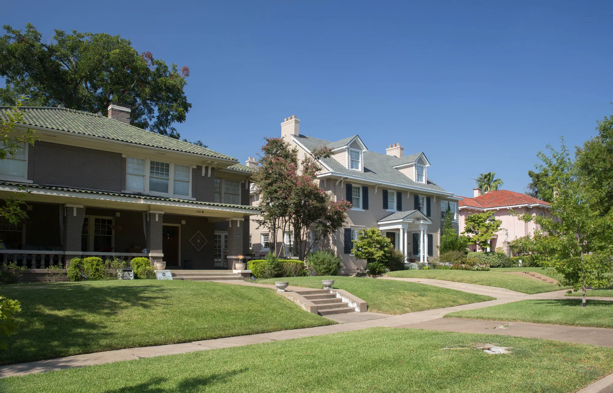
Ryan Place was built in two waves: the 1920s and the 1940s.
Tarrant Appraisal District has 803 houses within the line the city draws for Ryan Place. It dates 255 of them to the 1920s and 205 to the 1940s, more than all the other decades combined. The median build year is 1939. A little over half went up before 1941, and 306 between 1941 and 1959.
The older houses are to the north. Split the neighborhood into thirds from north to south, and the median build year runs from 1927 in the north third to 1939 in the middle and 1942 in the south. The neighborhood association’s history puts it this way: “By the early 60’s, Ryan Place stretched south to Berry Street.”
That age gap shows up in the framing, the wiring and the foundation. Ask what year a house was built and what has been redone since. The appraisal district’s year is the original one, even after a full remodel.

The schools
All 316 Ryan Place houses we checked are zoned to the same three schools.
School zones in Fort Worth ISD follow the street address. We put 316 Ryan Place houses through the district’s School Finder on its 2026–27 boundaries, and all 316 came back zoned to E.M. Daggett Elementary, Daggett Middle and R.L. Paschal High School. Daggett Elementary, a pre-K to fifth-grade school, is inside Ryan Place. Daggett Middle is just north of the neighborhood, and Paschal is outside it to the southwest.
Zones can change from one school year to the next, so check the exact house in the School Finder before making an offer.
Texas Education Agency ratings, 2026
E.M. Daggett Elementary
PreK–5
B82/100
Daggett Middle
6–8
C75/100
R.L. Paschal High
9–12
B87/100
The lots
A typical Ryan Place lot is about 55 feet wide and 140 feet deep.
On the city’s parcel map, a typical Ryan Place lot measures about 55 feet across and 140 feet deep (the medians), and five in six lots run 130 feet deep or more. How wide a lot runs tracks its zoning. Ryan Place has three one-family districts, named for their minimum lot size in thousands of square feet, and the median lot is about 51 feet wide in A-5, where 501 of the houses sit, about 63 feet in A-7.5, where 184 sit, and about 78 feet in A-10, where 105 sit.
Lots that deep leave most of the open ground behind the house, so an addition usually goes off the back. Home additions in Ryan Place covers what each zoning district allows, and the Fort Worth price range for additions is further down.

Elizabeth Boulevard
Elizabeth Boulevard is the one historic district in Ryan Place.
The Elizabeth Boulevard Historic District covers 44 lots on the boulevard as it runs east from the 8th Avenue gates, and 41 of them are houses, with a median build year of 1920. It has been on the National Register of Historic Places since 1979, and the city adopted its design guidelines in 1980.
The boulevard is where Ryan Place began. John C. Ryan named it for his wife, and the stone gates and the first house went up in 1911. The city tore down the larger gates in 1955 as traffic hazards, and the neighborhood association rebuilt the pair at 8th Avenue in 1990 with money from its Candlelight Christmas home tour. The district’s guidelines still protect what Ryan laid out: the thirty-foot parkway between the curb and the front yards, and the look of the street in the 1920s.
Counted house by house on the city’s zoning map, 62 of Ryan Place’s 803 houses carry a historic overlay. The 41 on the boulevard are reviewed under the district’s guidelines. The other 21 are elsewhere in the neighborhood and also carry a historic overlay, so outside work on them needs the same city sign-off. Another 12 houses carry a demolition delay, which brings a review only if the house is to be torn down or moved. The remaining 729, about nine in ten, carry neither.
A listing that says Ryan Place won’t tell you which of these a house is, and the answer sets what you’re free to change outside.
One square for each of the 803 houses
62
Historic overlay
41 on the boulevard, 21 elsewhere in Ryan Place
“Any changes to the exterior of historic properties require a Certificate of Appropriateness before obtaining permits or beginning construction.”
For the 41 boulevard houses only, the district’s guidelines say review “will focus on the parkway, front façades, and side façades on corner lots,” that “Second stories shall not be added to single story houses,” and that they “shall not apply” to a house’s interior.
12
Demolition delay
Review comes only before the house is demolished or relocated. Any other work goes through an ordinary city permit.
729
Neither
An ordinary city permit, with no historic review. Base zoning and the building code apply, as they do across Fort Worth.
A house’s address decides this, not the neighborhood’s name, so look it up on the zoning map the city publishes, or send it our way and we’ll check it.
Home additions in Fort Worth
$60,000–$420,000
a bump-out at the low end, a full second story at the top.
Ranges for a home addition in Fort Worth, not a quote. Before there are drawings, a range is the only honest number anyone can give you — the spread between a high and a low bid on the same job is routinely 20% or more. We bill Cost Plus, so when there is a plan you see the actual materials, labor and subcontractor costs, plus our overhead and profit, rather than a single figure with the unknowns padded into it.
What changes the price
- Which kind of addition. A bump-out borrows the roof and structure you already have; a second story needs engineering, a staircase, a new roofline and every system re-integrated.
- Whether a bathroom is in it. Plumbing into new square footage is $15,000–$35,000 on its own, and how far it sits from existing lines decides where in that band you land.
- What the existing house can carry. Whether the foundation extends, whether a bearing wall is in the way, and whether the framing can take a floor above it are answers that come from opening things up, not from the curb.
- Matching the character. On a house with a historic overlay, as on parts of Ryan Place and Mistletoe Heights, custom millwork and matched exterior materials add 10–15%.
- Per square foot
- $175–$400
- How long it takes
- 3–9 months
- Fort Worth permit fees
- $1,200–$3,500
- Set aside a contingency
- 15–20% of budgetfor what the existing house turns out to be hiding
Our work here
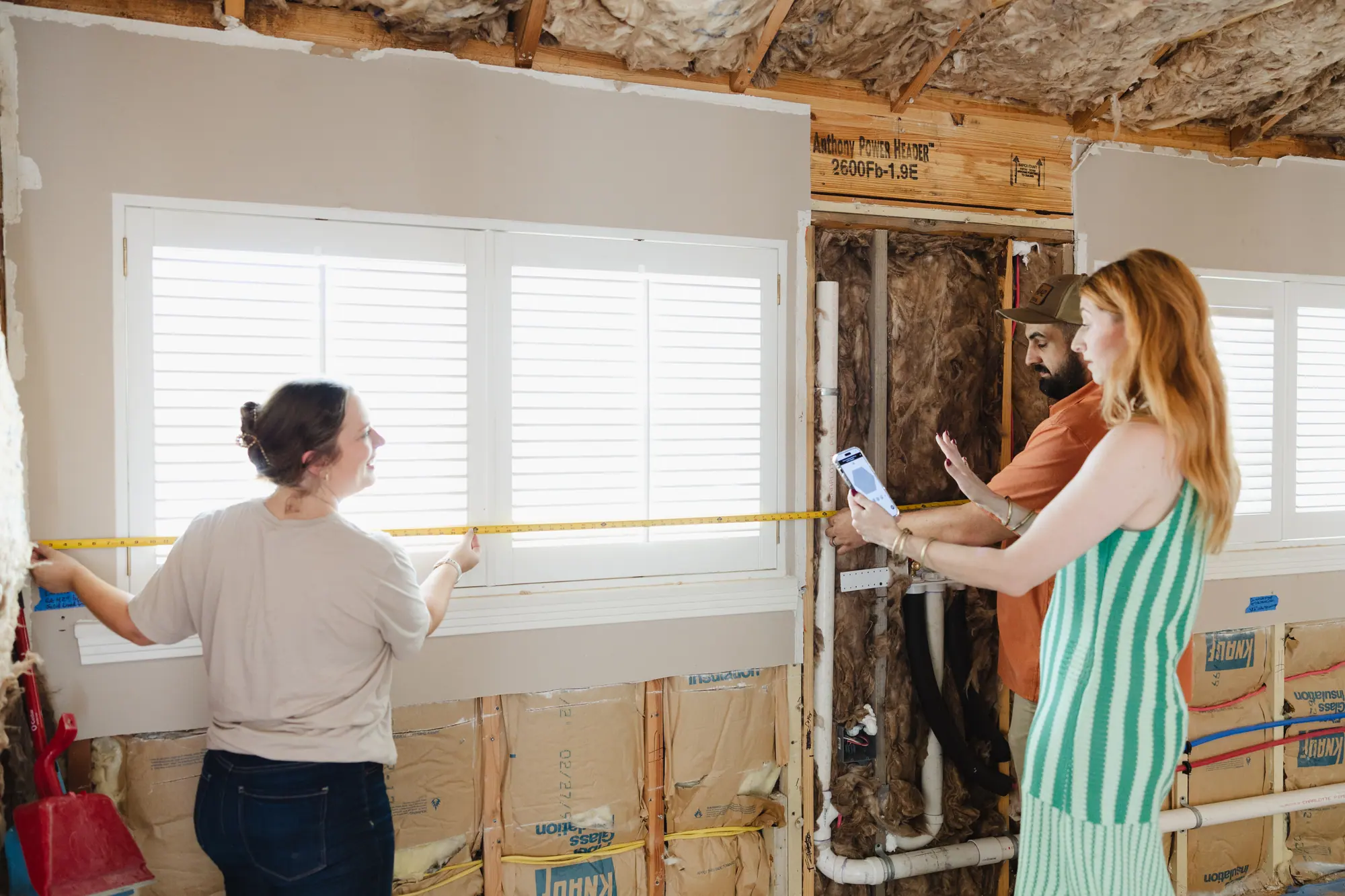
Two of our projects in Ryan Place.
We designed and built both.
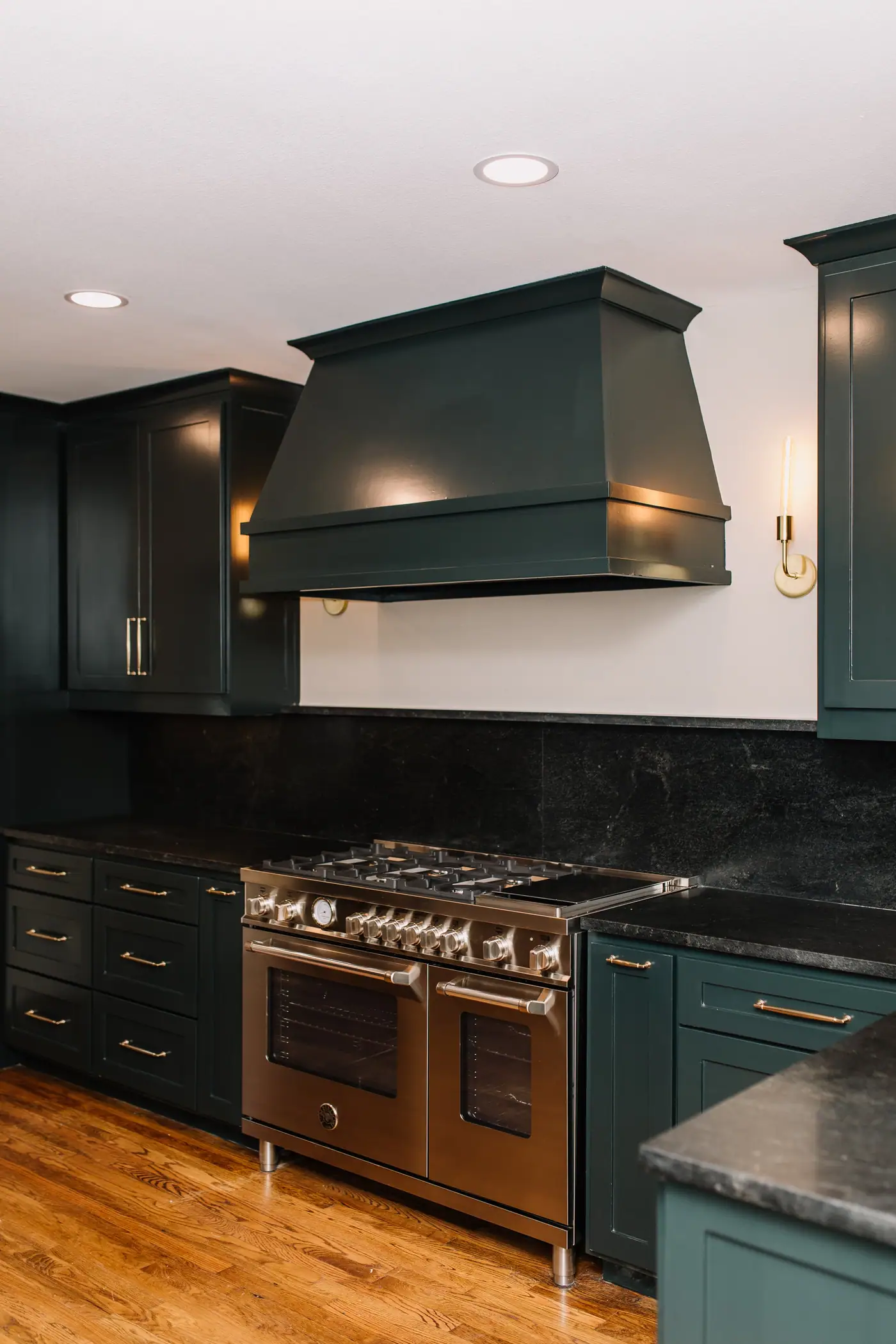
Whole-home remodel
Ryan Place Historic Home Remodel
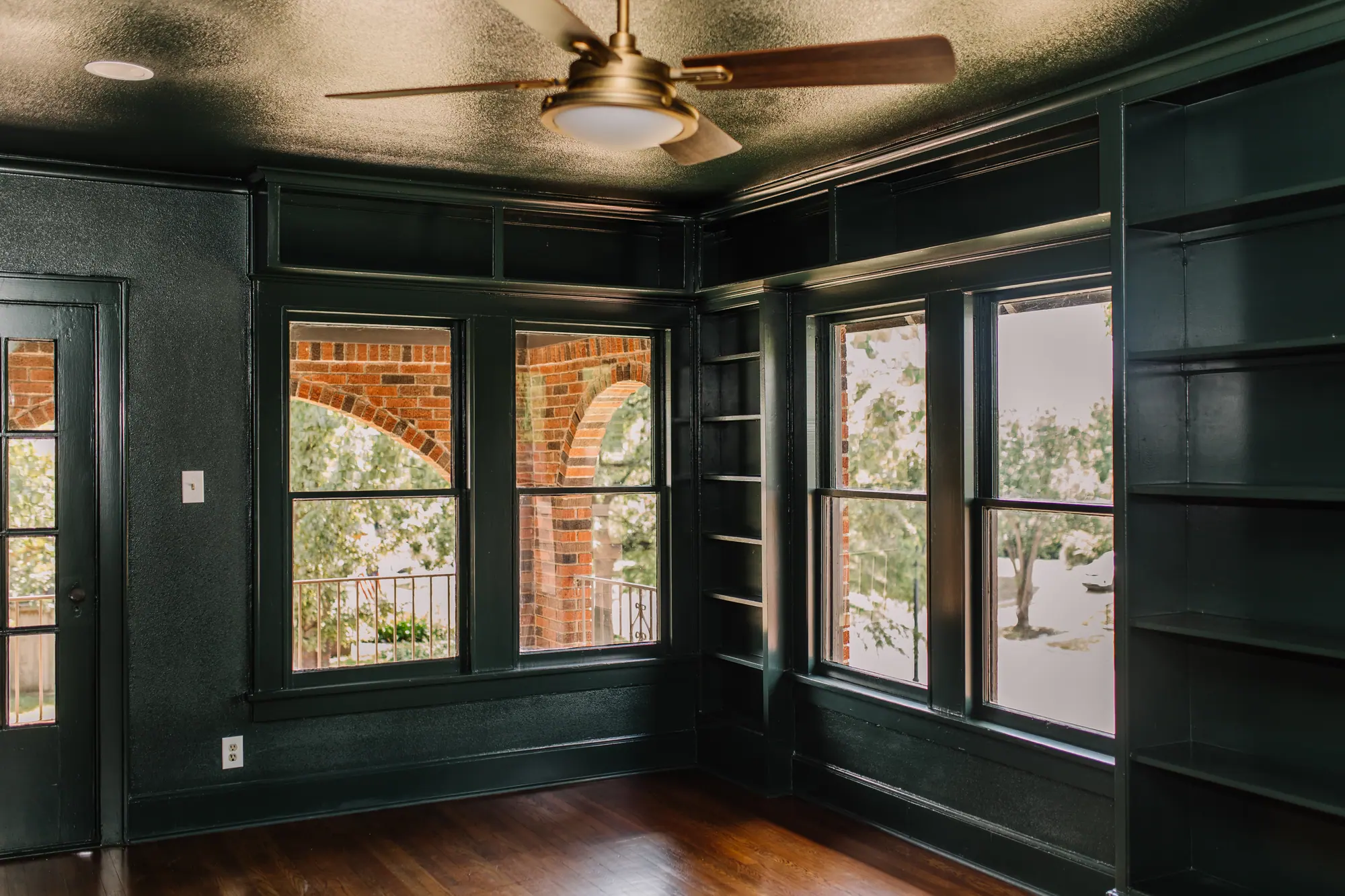
A nearly full gut renovation that kept the stained glass windows, the interior doors and even the old speaking tubes, and refinished the original floors.
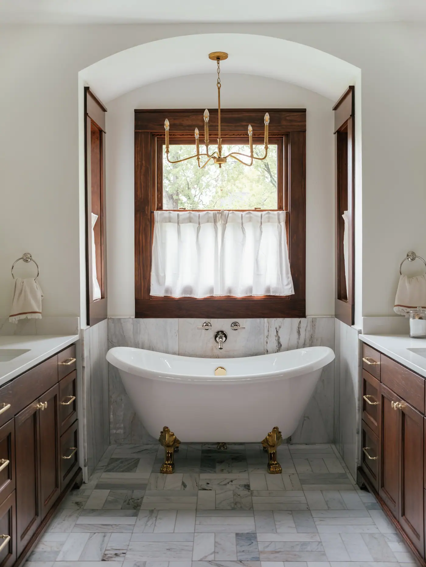
Home addition
Ryan Place Historic Addition
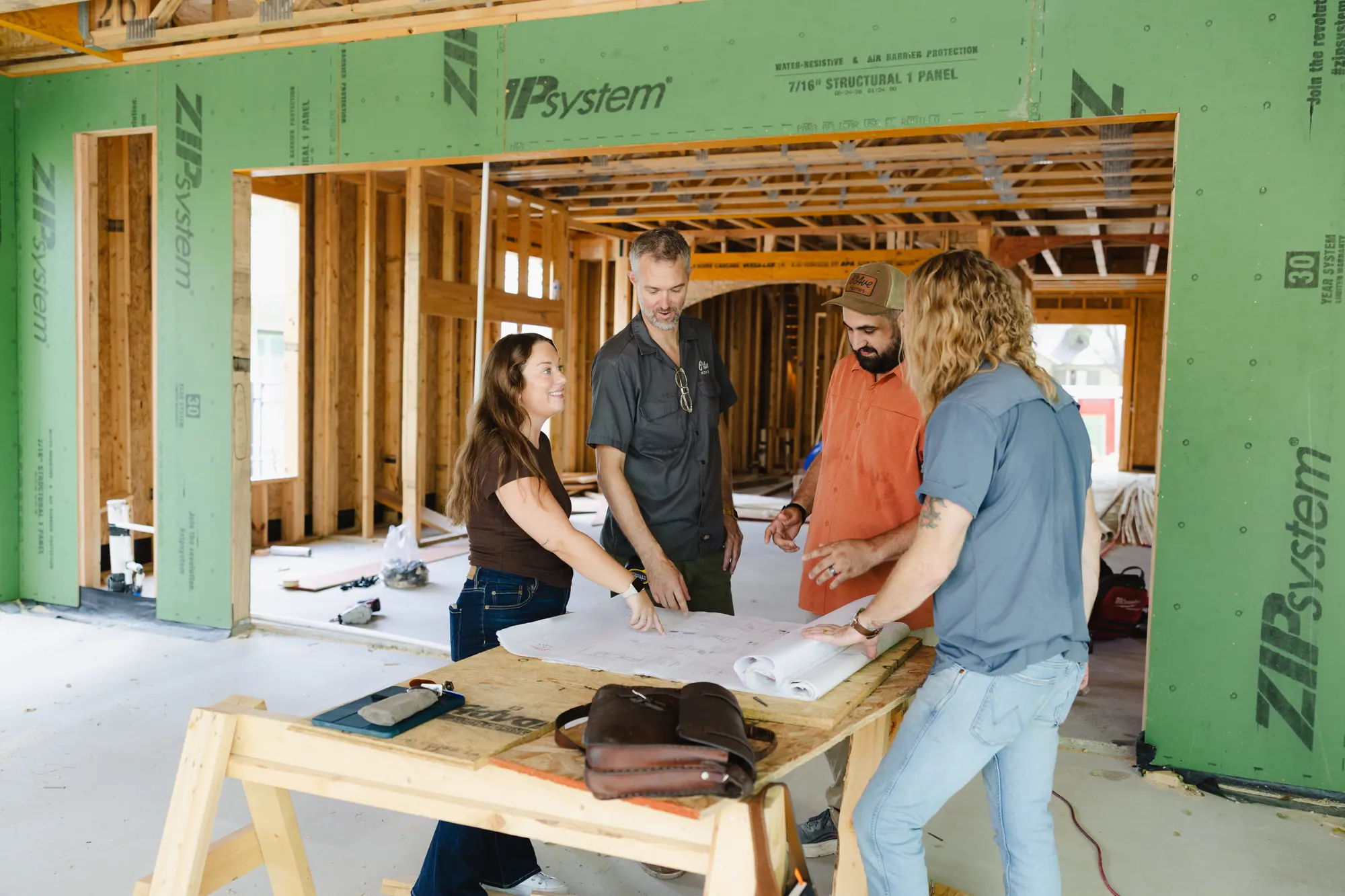
The owners bought the lot behind their house, and we designed a 1,700-square-foot addition with a new kitchen and primary suite, matched to the original trim and stain.
Best Home Builder & Remodeler
Fort Worth MagazineFort Worth Chamber Small Business of the Year4.7 stars from 91 Google reviews as of September 2026
Questions
Questions about Ryan Place: the schools, the Christmas tour, the boulevard and the association.
What is Ryan Place known for?
Ryan Place is a neighborhood of about 800 houses south of downtown Fort Worth, built mostly in the 1920s and the 1940s. It is known for Elizabeth Boulevard, the street its stone gates open onto, for E.M. Daggett Elementary, which Fort Worth ISD calls its oldest continually operating school, and for the Candlelight Christmas home tour each December.
Which schools serve Ryan Place?
Every house we checked was zoned to E.M. Daggett Elementary, Daggett Middle and R.L. Paschal High School, using Fort Worth ISD’s School Finder and its 2026–27 boundaries. Zones are set by address, so ask the School Finder about the exact house before making an offer. Daggett Elementary, which sits inside Ryan Place, was rated B, 82 out of 100, by the state’s education agency for 2026.
When is the Ryan Place Christmas home tour?
The Candlelight Christmas in Ryan Place tour is held the first weekend of December. For 2026 the neighborhood association lists Saturday, December 5, from noon to 8 p.m., and Sunday, December 6, from noon to 5 p.m., with five houses and Daggett Elementary decorated and open. The tour started as a way to pay for rebuilding the gates, and its proceeds now support preservation, infrastructure and neighborhood events.
Is all of Ryan Place a historic district?
No. One street is: the Elizabeth Boulevard Historic District, 44 lots, 41 of them houses. On the zoning map the city keeps, 21 other houses here carry a historic overlay and 12 carry a demolition delay. That leaves 729 of the 803 houses, about nine in ten, with neither. Exterior work on a house with a historic overlay needs the city’s approval first, through what it calls a Certificate of Appropriateness. A house’s address, not the neighborhood’s name, tells you which group it is in.
Does Ryan Place have a neighborhood association?
Yes. The Ryan Place Improvement Association formed in 1969, when 150 residents organized against a city plan to widen two of its avenues, and won. The city’s registration lists membership as voluntary and general meetings as monthly. Membership doesn’t change your house’s rules: any city overlay comes from the zoning map, not the association.
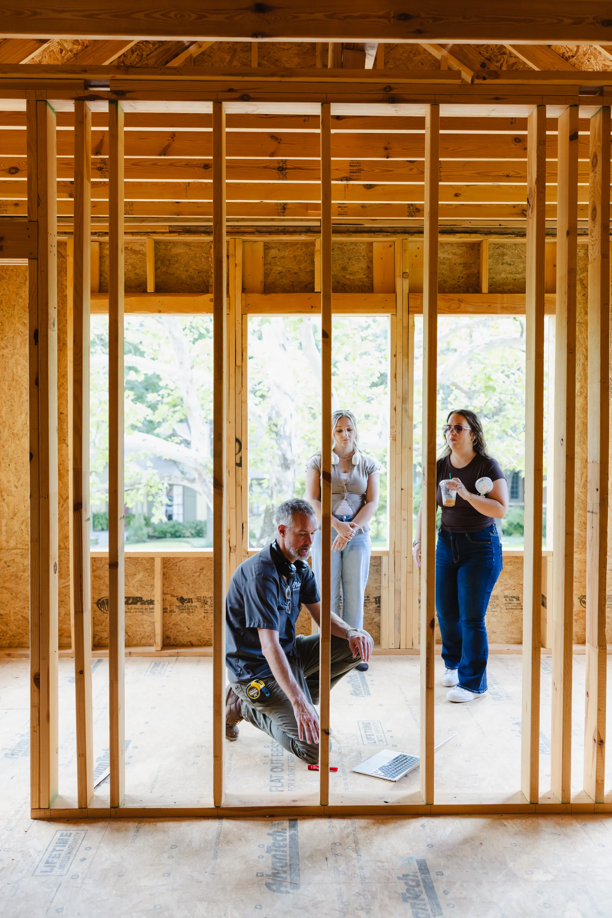
Your next step
Before you commit, get two numbers: the house’s value and the cost of your changes.
- 1 Send us the listing you’re looking at, or the address of the house you own.
- 2 We look up the lot, its zoning district, the school zone and any overlay on it.
- 3 Our real estate agents tell you what the house is worth, and our designers and builders tell you what your changes would cost.
If you’re buying, get those answers before your option period runs out. After it ends, you can no longer back out for any reason you like.
Whatever your lot’s zoning, on the boulevard or off it, we’ll show you what the lot and the house allow before you commit.
Rather talk it through? Call or text (817) 631-9803
Sources
Verified October 2026. Boundary: the City of Fort Worth’s registration for the Ryan Place Improvement Association and the association’s outline in the city’s GIS. Houses, build years, lots and zoning: Tarrant Appraisal District parcels for tax year 2026, read through the city’s GIS on October 18, 2026. “Houses” means the single-family parcels that sit entirely within the city’s line, so counts run slightly low; build years are the appraisal district’s, not permit dates; a lot’s width is the short side of its mapped outline, not a survey. Historic district and overlays: the city’s district and zoning map layers, read house by house, the city’s Historic Preservation page, the district’s Standards and Design Guidelines (revised 2007), the National Park Service’s National Register record and the Texas Historical Commission’s marker for the boulevard. Schools: Fort Worth ISD’s School Finder (2026–27 boundaries), asked at 316 houses, and the 2026 accountability ratings from the Texas Education Agency. Parks: the city’s park pages and its parks map. The gates: Historic Fort Worth. History, the association and the Christmas tour: the Ryan Place Improvement Association. Distances: driving routes on OpenStreetMap data from the middle of the city’s outline, rounded to the half mile.